
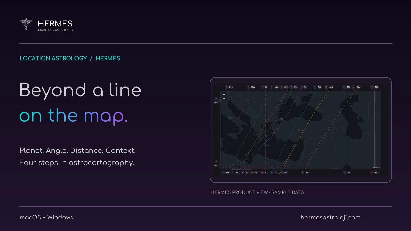
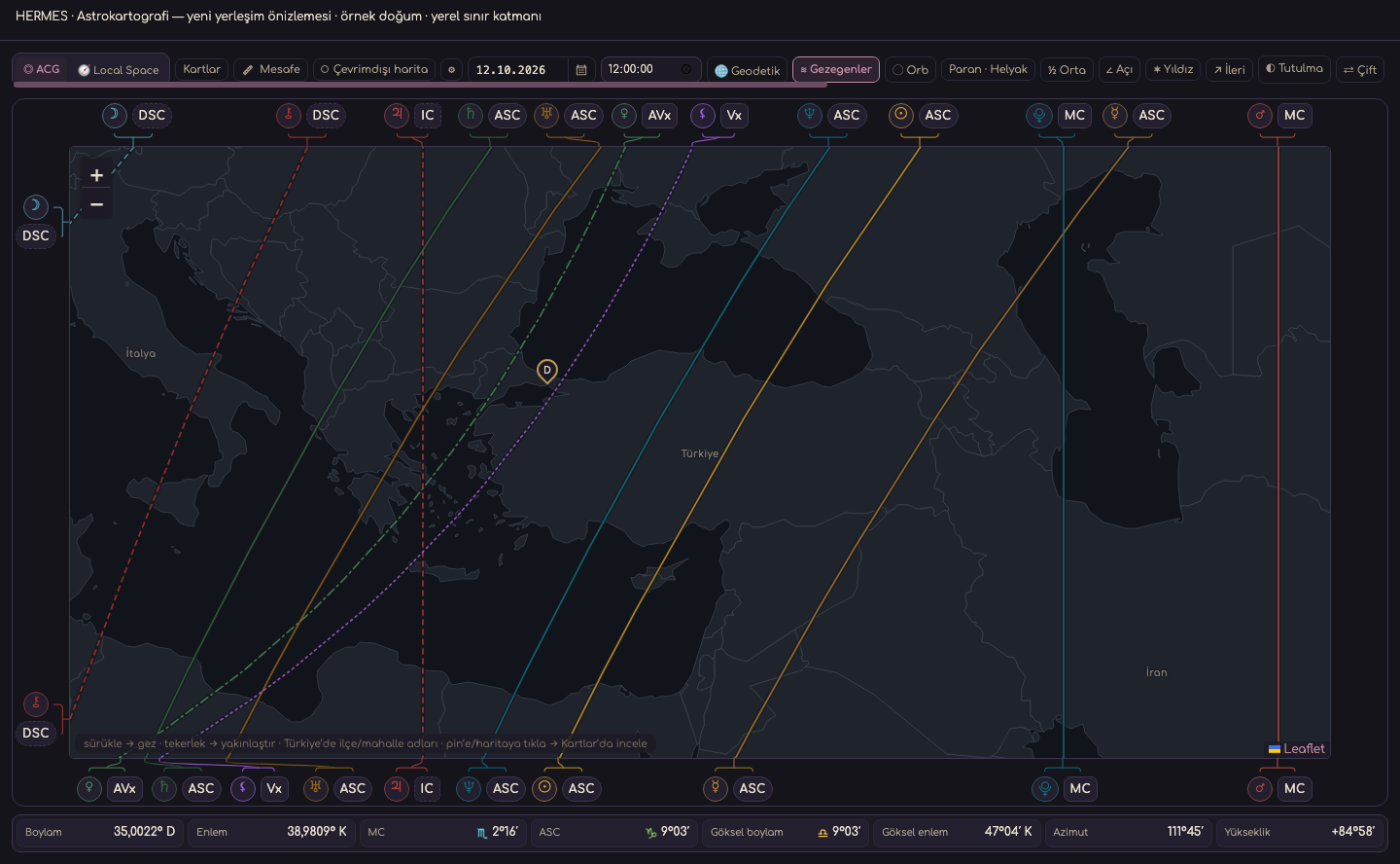
When a line passes near a city on an astrocartography map, read two things first: its planet symbol and angle label. Colour alone does not identify it. The ASC and MC lines for the same planet can pass through different places.
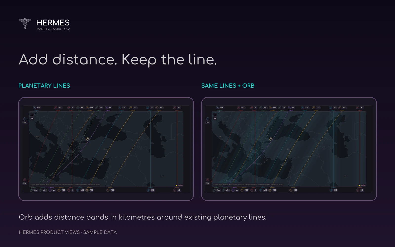
In Hermes, start with a small region. Follow one line and its label, then turn on Orb to see the distance bands around it. The sample screens below compare those two views.
What is astrocartography?
Astrocartography shows where on a world map the planets of a birth or event chart fall on the chart’s angles. Popularised by Jim Lewis in the 1970s, the technique draws four lines for each planet: where it rises (ASC), sets (DSC), culminates (MC) and reaches its lowest point (IC).
These lines show how the chart’s angles change across the world at the same moment of birth. People considering a move, planning travel or curious about how a city relates to their chart use the method. A line does not make a place good or bad on its own; you need to read which planet is on which angle.
Follow one line first
Astrocartography maps the angular relationships between celestial bodies and the local horizon and meridian at the selected chart time. A busy map can be difficult to read at first. Starting with one region and a few planets makes the labels easier to follow.
Find the planet for the line that interests you, read its angle label and trace it across the region. Use the same sequence for another line so that you know what you are comparing.
What do ASC, DSC, MC and IC mean?
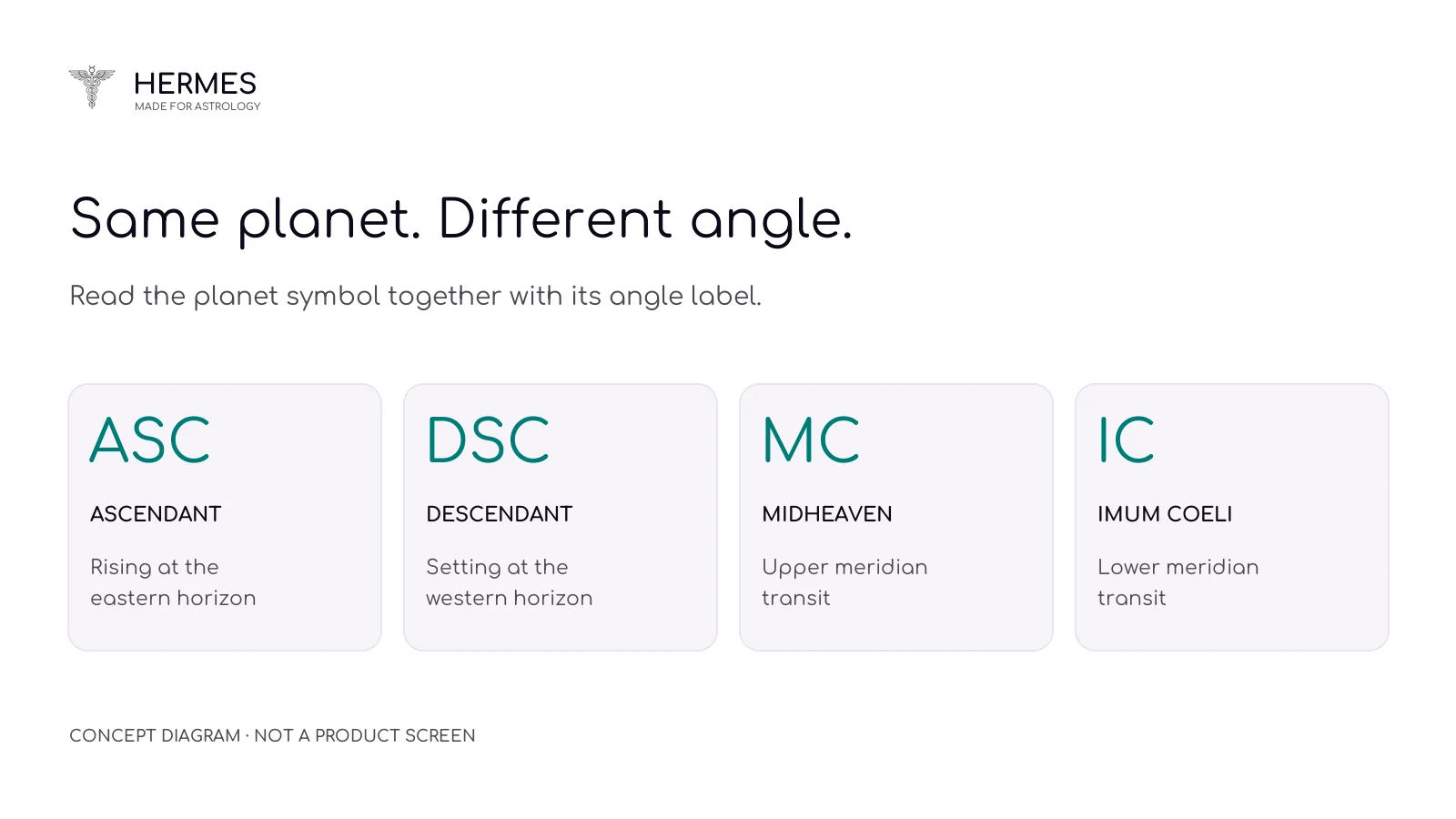
The four labels describe the planet’s angular position at that location and moment:
- ASC · AscendantThe planet is rising at the eastern horizon.
- DSC · DescendantThe planet is setting at the western horizon.
- MC · MidheavenThe planet makes its upper transit of the local meridian.
- IC · Imum CoeliThe planet makes its lower transit of the local meridian.
Ask “which angle?” as well as “which planet?” Any astrological interpretation then needs to be considered with your chosen method and the full natal chart.
What changes when you turn on Orb?
The Orb layer in Hermes adds distance bands, measured in kilometres, around the planetary lines. The lines stay in place; the bands around them are what changes. Compare the two sample views below.
Use the same orb range when comparing locations. If you change it later, record that change. A wider band covers more ground, but it does not add a new planetary line to the map.
Compare two locations with the same settings
Try a short exercise. Choose two cities and one planet’s MC line. Ask: “With the same chart and orb range, where do these cities sit relative to the line?”
Keep the chart, planet selection and distance range the same for both locations. If one of those settings changes, location is no longer the only difference you are examining.
The exercise explores the relationship between a line and a location. It cannot tell you, on its own, where you will live better. Work, relationships, budget and everyday needs also belong in that decision.
Keep a short record of the comparison
Use these five headings in your own notes so you can return to the same view later:
- ChartWhich chart and calculation preferences did you use?
- LocationWhich cities or region did you examine?
- LineWhich planet and angle label did you follow?
- OrbWas the layer on, and which kilometre range did you choose?
- ObservationWhat was your question, and what did you see?
Change one setting for your next comparison. Your earlier note will help you identify what caused the difference between the views.
Choose the next layer to suit your question
Once you are comfortable with planetary lines and Orb, explore the other tools. The detailed Hermes guide covers Treasure maps, eclipse paths, Dual AstroMap and intersections. Pick the tool that fits your question rather than opening every layer at once.
You can browse the English Instagram carousel for this article below. For a closer look at the product screens, open the astrocartography guide on our website.
Frequently asked questions
What is astrocartography?
It shows a birth chart’s planets as lines on a world map. Popularised by Jim Lewis in the 1970s, it draws where each planet rises, sets, culminates and reaches its lowest point. A line alone does not make a place good or bad.
How sensitive is astrocartography to birth time?
Very. A four-minute difference in birth time shifts the MC line by about one degree of longitude, roughly 85 km at Türkiye’s latitude, so use the most accurate birth time you have.
Is being near more lines necessarily better?
Line count alone does not establish that a location is more suitable. First identify the planets, angles and question you want to study.
Product reference: Hermes Astrocartography · Features. Visuals use official sample screens captured on 12 October 2026. The pictured application version was not recorded.